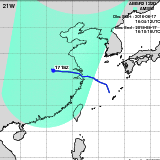
Tropical Storm RUMBIA(21W)
T1818
T1818
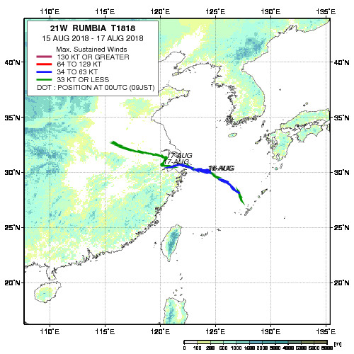
| Period : | Aug 15,2018 - Aug 18,2018 |
|---|---|
| Region : | North Western Pacific |
| Maximum Sustained Winds : | 45 kt |
| Number of GCOM-W/AMSR2 Observation : | 4 |
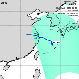
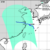
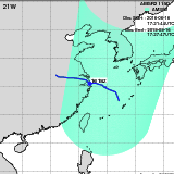
| Track Chart(JPEG, 500x500) | |
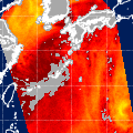
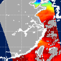
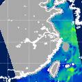
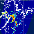
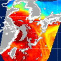
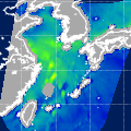
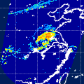
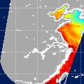
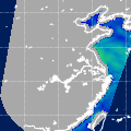
| Observation Area | AMSR2 Precipitation | AMSR2 Total Precipitable Water | AMSR2 All-weather Sea Surface Wind Speed | Information | GSMaP | ||||||||||
|---|---|---|---|---|---|---|---|---|---|---|---|---|---|---|---|
 | 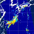 |  | 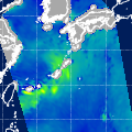 |
|
GSMaP | ||||||||||
 | 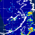 |  |  |
|
GSMaP | ||||||||||
 |  |  |  |
|
GSMaP | ||||||||||
 |  |  |  |
|
GSMaP |
Japan Aerospace Exploration Agency Earth Observation Research Center
JAXA/EORC