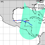
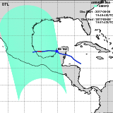
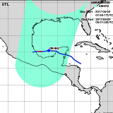
Hurricane FRANKLIN(07L)

| Period : | Aug 07,2017 - Aug 10,2017 |
|---|---|
| Region : | North Atlantic |
| Maximum Sustained Winds : | 75 kt (Category 1) |
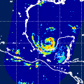
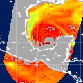
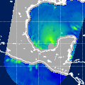
| Number of GCOM-W/AMSR2 Observation : | 4 |
| Track Chart(JPEG, 500x500) | |
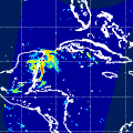
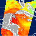
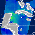
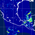
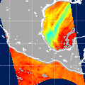
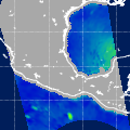
| Observation Area | AMSR2 Precipitation | AMSR2 Total Precipitable Water | AMSR2 All-weather Sea Surface Wind Speed | Information | GSMaP | ||||||||||
|---|---|---|---|---|---|---|---|---|---|---|---|---|---|---|---|
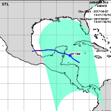 | 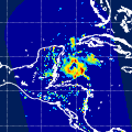 | 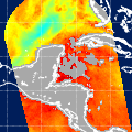 | 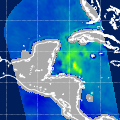 |
|
GSMaP | ||||||||||
 |  |  |  |
|
GSMaP | ||||||||||
 |  |  |  |
|
GSMaP | ||||||||||
 |  |  |  |
|
GSMaP |
Japan Aerospace Exploration Agency Earth Observation Research Center
JAXA/EORC