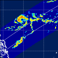
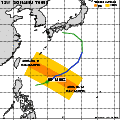
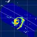
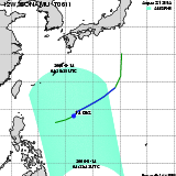
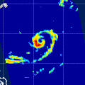
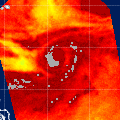
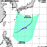
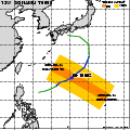
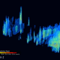
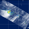
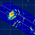
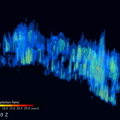
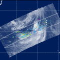
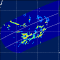
Tropical Storm SONAMU(12W)
T0611
T0611
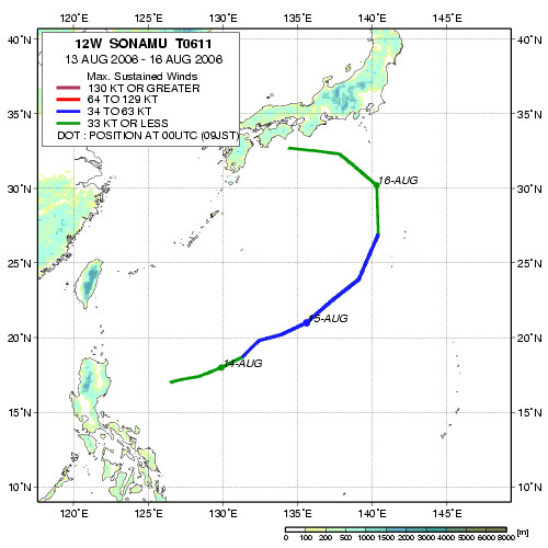
| Period : | Aug 13,2006 - Aug 16,2006 |
|---|---|
| Region : | North Western Pacific |
| Maximum Sustained Winds : | 45 kt |
| Number of TRMM/PR,TMI,VIRS Observation : | 4 |
| Number of Aqua/AMSR-E Observation : | 2 |
| Track Chart(JPEG, 500x500) | |
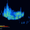
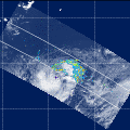
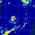
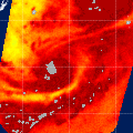
| Observation Area | PR 3D | KuPR/PR/VIRS Image | AMSR-E/AMSR Precipitation | AMSR-E/AMSR Total Precipitable Water | Information | GSMaP | ||||||||||
|---|---|---|---|---|---|---|---|---|---|---|---|---|---|---|---|---|
 |  |  |  onClick='toggleDiv(event,this.src,"imageA");' onClick='toggleDiv(event,this.src,"imageA");' |  |
|
GSMaP | ||||||||||
 |  |  |  onClick='toggleDiv(event,this.src,"imageA");' onClick='toggleDiv(event,this.src,"imageA");' | |
|
GSMaP | ||||||||||
 | | |  |  |
|
GSMaP | ||||||||||
 | | |  |  |
|
GSMaP | ||||||||||
 |  |  |  onClick='toggleDiv(event,this.src,"imageA");' onClick='toggleDiv(event,this.src,"imageA");' | |
|
GSMaP | ||||||||||
 |  |  |  onClick='toggleDiv(event,this.src,"imageA");' onClick='toggleDiv(event,this.src,"imageA");' | |
|
GSMaP |
Japan Aerospace Exploration Agency Earth Observation Research Center
JAXA/EORC