Japan Aerospace Exploration Agency Earth Observation Research Center ALL RIGHTS RESERVED.

|
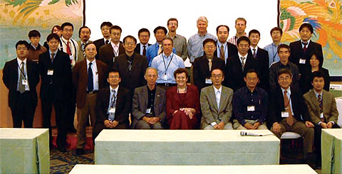 Fig. 1.5.1 AMSR PI and research scientists |
Data sent from the satellite are converted into physical quantities via algorithms. These algorithms are developed by ten or so domestic and overseas AMSR Principal Investigators (PIs). A comprehensive check of algorithm function is performed by EORC personnel. The accuracy of the physical quantities calculated from satellite data is verified by comparing them with ground truth data. Snowfall, soil moisture volume, cumulative cloud and water volume, rainfall and sea ice, are specially observed on the ground as well.
AMSR-E aboard Aqua operated continuously for three years until May 2005. The time scale for climatic changes is typically 10 to 30 years, so this three-year period is too short for monitoring climatic changes. However, considering the recent acceleration of the warming phenomenon, it is probable that the warming phenomenon will appear across the globe in the next 5 to 10 years. Therefore, it is important to monitor these phenomena with AMSR-E as well as the successor of AMSR, for which future plans are currently being developed.
 Fig. 1.5.2 Check of PI's program |

Fig. 1.5.3 Sea ice measurement in the Sea of Okhotsk |